By Terry McCaferty ‘22
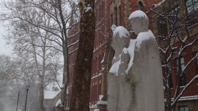
Last Tuesday, November 11th, Saint Ignatius came shockingly close to having a snow day. Anticipation was high. The Snow Day Calculator had the chances as high as 90% for our zipcode. Mr. Bradesca even remarked to one history teacher that he was considering calling off that evening. While no such snowday occurred, the fact it was so close in early November should be seen as a good omen for those hoping for a year full of free days.
Indeed those students and teachers hoping for a record year of snow days have more than a few reasons to be optimistic. In addition to our missed snow day that was enjoyed by Saint Josephs and St. Martin de Porres High Schools, several weather reports have forecasted a snowy, more extreme winter than usual. The Farmer’s Almanac editor Janice Stillman says “This could feel like the never-ending winter, particularly in the Midwest and east to the Ohio Valley and Appalachians, where wintery weather will last well into March and even through the first days of spring.”
Furthermore, the National Oceanic and Atmospheric Administration reports, “an area from the Northern Plains into parts of the mid-Atlantic and Northeast as having an above-average chance of seeing more precipitation than average this winter. This includes areas of the Northern Plains and Midwest that have already experienced well-above average precipitation and record flooding this year.” The NOAA predicts the Northeast Ohio area could have more than a 33% increase in snowfall this winter. Other sources including the Weather Channel, Accuweather, CNN and Fox8 News corroborated these forecasts. So, buckle up Saint Ignatius, for it could very well be a long, exciting, snowy, record breaking winter with plenty of snowdays to come.


